So to make amends this post is about a pleasant afternoon walk I made last October along the former Thames and Medway Canal starting close to my office in Gravesend.
 The 7.7 mile long canal was conceived as a way of connecting the River Thames at Gravesend with the River Medway at Strood (near Rochester). Prior to construction of the canal ships had to make a 47 mile voyage down the River Thames and then back up the River Medway.
 The 7.7 mile long canal was conceived as a way of connecting the River Thames at Gravesend with the River Medway at Strood (near Rochester). Prior to construction of the canal ships had to make a 47 mile voyage down the River Thames and then back up the River Medway.
 The canal was started in 1799 with the construction of a basin in Gravesend (now used as a marina). The basin was accessed from the River Thames by locks which are still in operation today.
 The sun setting over the river with Tilbury power station in the background.
 If you have enjoyed reading this post you may also like....
The projected construction budget was a totally inadequate £ 40,000 and by 1801 the canal had only progressed one mile. It should be borne in mind of course that the canal was dug entirely by hand.

Further funds were eventually secured so that the canal could be completed and opened on 14th October 1824. Work undertaken to finish the canal included the digging of a 2 mile long tunnel through a chalk hill and construction of locks and another basin in Strood.
The final construction cost was purported to have been £ 260,000.
 Unfortunately the canal was never a commercial success.
 Unfortunately the canal was never a commercial success.
Access to the locks at Gravesend and Strood was dependent on the tides. It was therefore often quicker for ships to make the longer voyage than to wait for the tide and use the canal.
To compound matters, by the mid 1840's the railways were taking off and rapidly stealing trade away from the canals.
In an effort to combat this threat the canal company built their own railway which ran parallel with the canal and shared the tunnel that had been dug through the chalk hill.
Uniquely the railway line was carried over wooden trestles in the tunnel while barges could continue to ply the canal underneath.
 In 1846 the railway including the tunnel was sold to the South Eastern Railway (SER). The SER decided to fill in the section of canal running through the tunnel to enable a double track to be laid.
 In 1846 the railway including the tunnel was sold to the South Eastern Railway (SER). The SER decided to fill in the section of canal running through the tunnel to enable a double track to be laid.
 This effectively cut the canal in two, permanently severing the connection between the Thames and Medway.
Barges continued to use the stretch of canal from Gravesend as far as the British Uralite (asbestos) works at Higham and to the aptly named Dung Wharf (no prizes for guessing what that was used for!).
In 1934 the canal was finally abandoned and fell into disrepair.
Efforts are now being made to restore parts of the canal but as you can see from the photos above it is still very much a work in progress.
 A cycle path now follows the canal bank and eventually goes all the way through to Rochester.
 A cycle path now follows the canal bank and eventually goes all the way through to Rochester.
I continued along this path about a mile or so as far as the former British Uralite Works and then just before the railway bridge took a footpath to the left across the marshes towards the Thames river bank.
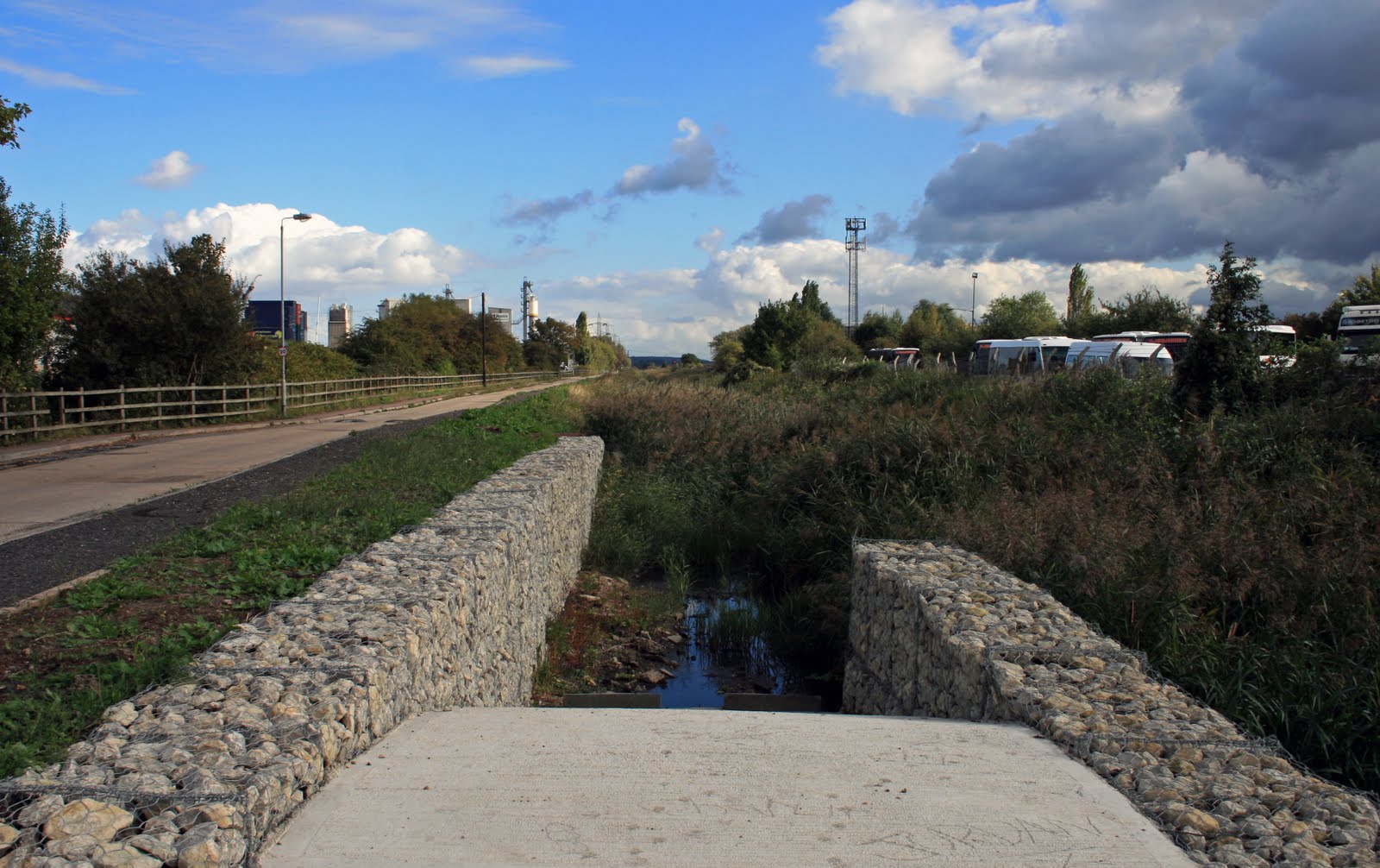
 The marshes are partially drained by dykes like the one above (which are teaming with fish). It is very peaceful and a haven for wildlife.
 Eventually the footpath reached the river bank and linked up with the long distance Saxon Shore Way mentioned in a previous post.
 At this point as the light was beginning to fade I decided to follow the river back towards Gravesend.
 The foreshore at this point is strewn with the timbers of numerous long lost sailing ships.
 If you take a close look on the "beach" you will see literally thousands of old broken bottles.
 If you take a close look on the "beach" you will see literally thousands of old broken bottles.
These were once used as ballast by the sailing ships and barges arriving in the Thames and had to be dumped before any cargo could be loaded.
 The sun setting over the river with Tilbury power station in the background.
 If you have enjoyed reading this post you may also like....
